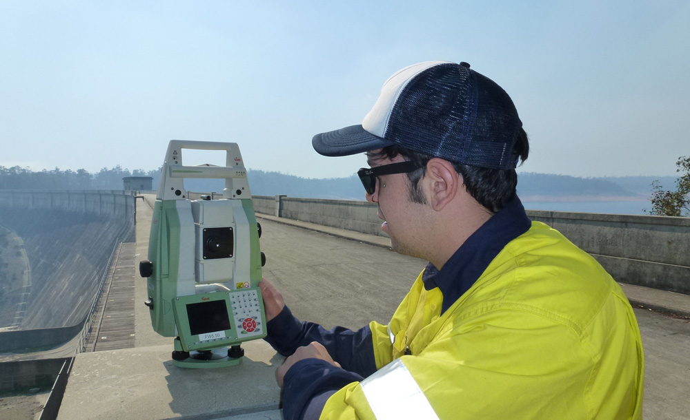
SURVEY SERVICES
State of the art equipment and computing capacity, highly trained and motivated personnel, and experience across a wide range of site types, conditions and client demands – that’s Dadaru Surveying.

EARTHWORKS
Our cost-effective earthwork solutions deploy a combination of GPS and terrestrial surveying techniques depending on the client’s needs.
Outcomes include:
- Set-out of excavation and material placement.
- Constructed surveys.
- Quantity and volumetric calculations.
- 3D visualisations and modelling.

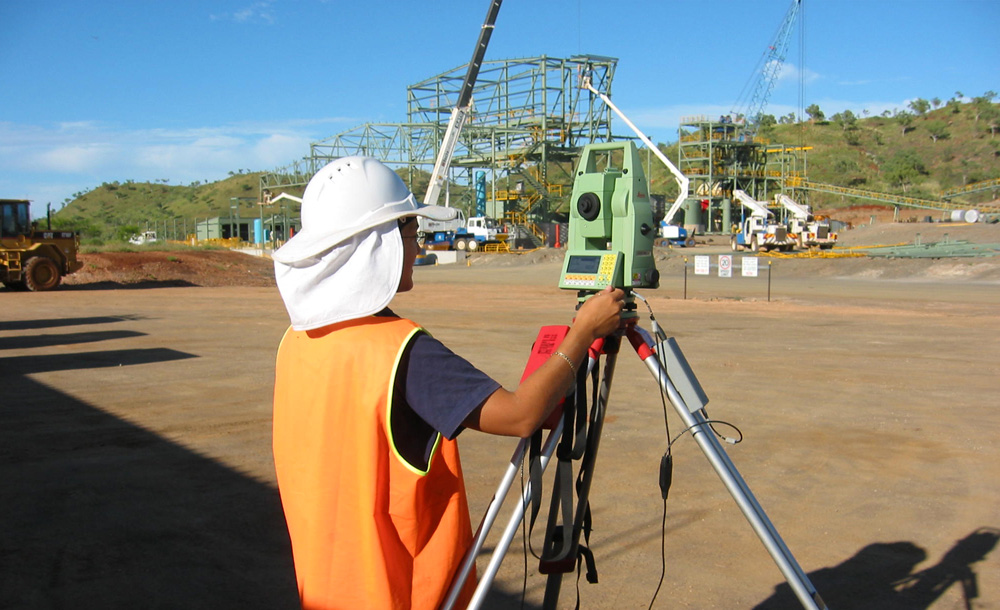
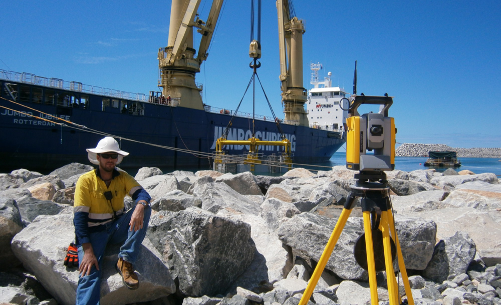
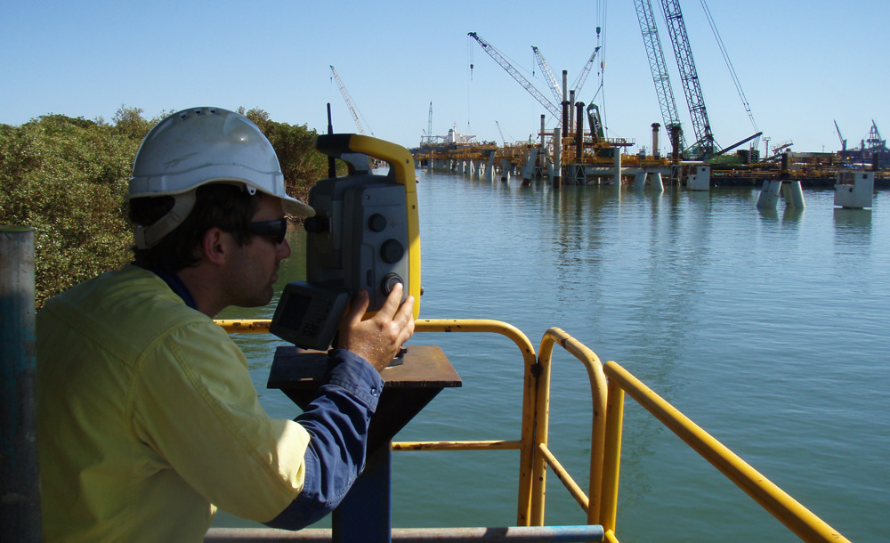
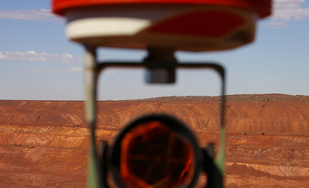
MINING SERVICES
The Dadaru Survey team’s experience in both surface underground operations is unmatched, with decades of expertise available. Equipped with the latest technologies and communications, our mine survey teams can be quickly mobilised to ensure timely and accurate provision of data and services.
From mine to port, Dadaru’s complete management and resourcing service gives clients peace of mind and cost-effectiveness.

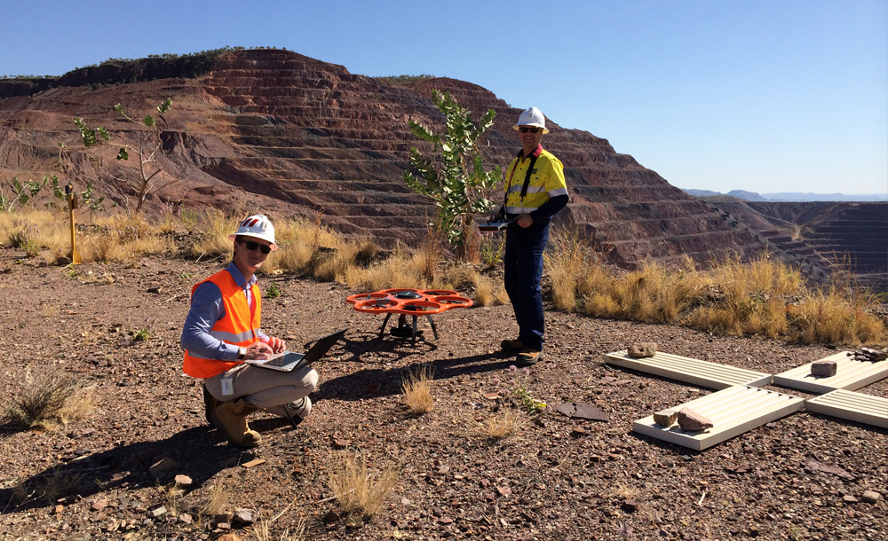
AERIAL SURVEYING
Our experience in aerial surveying begins long before the current crop UAV (Unmanned Aerial Vehicle) technologies, so we are uniquely positioned offer a comprehensive range of services, from UAVs mounted on various platforms to deliver high resolution imagery and 3D surface models, to conventional aerial survey techniques to cover large scale mapping projects.
Our versatile team can take on aerial surveys of all kinds, from small projects to major infrastructure and mining projects, as well as heritage and environmental monitoring and data collection.

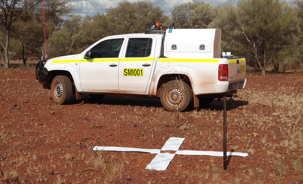
MOBILE MAPPING
Clients across the civil and construction, mining, oil & gas, transport and commercial sectors are encouraged to talk with the mobile mapping experts at Dadaru to determine the best approach for construction projects, rail and road, mining, urban and waterway mapping.
Dadaru operates a fleet of specialised vehicles designed to quickly and accurately capture significant amounts of spatial data and imagery over large and complex projects.

MONITORING
Dadaru’s Peter Taylor pioneered automated monitoring in Australia and other parts of the world, and has developed turn-key solutions to assist our clients in implementing reliable and cost-effective monitoring systems.
Remote monitoring of sites reduces costs, enhances safety and improves efficiency, particularly in mining applications.

3D LASER SCANNING
3D laser scanning is becoming the preferred survey method for measuring complex objects or structures for facilities maintenance, damage diagnosis and repair design, and inventory management. Scanning technologies are particularly beneficial when plans of an object or structure are unreliable or unavailable
Using high-resolution 3D laser scanning equipment our teams capture accurate measurements for any object large or small, from a few centimetres to hundreds of metres in size.

ENVIRONMENTAL SERVICES
Dadaru’s comprehensive range of environmental and land management services ensure that government, industry, and communities can effectively manage environmental resources.
Providing a combination of environmental consultants and local land management professionals allows us to be responsive, scalable and cost-effective, as well as ensuring the best mix of professional expertise and local knowledge.
Talk to us about your environmental survey needs, expectations and plans – we will design a bespoke solution.

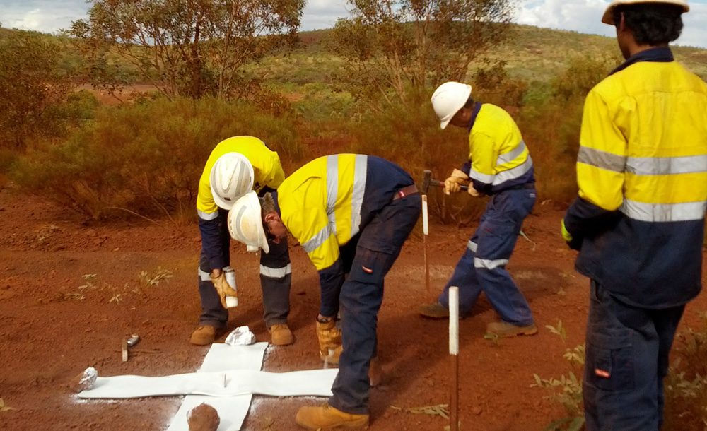
HERITAGE
As a proud Aboriginal organisation staffed by a majority of Indigenous people, Dadaru is uniquely qualified to offer heritage services.
Working with our partners Terra Rosa Consulting, we can assign heritage managers, lead and senior consultants
All of whom are qualified archaeologists or anthropologists, to meet your heritage requirements.